Mapping Tannahill's Paisley
John Wood Map: 1828
This 1828 map of Paisley was created by John Wood (1780-1847). It is held by the National Library of Scotland (Shelfmark EU.31.W). The map was georeferenced using MapTiler, and the markers were added using custom JavaScript. Hover over a marker to see a name; click to see a description or image. Click the toggle button in the top right corner to switch between a map view or satellite view for the Google Maps basemap.
Interactive Historical Renfrewshire Map
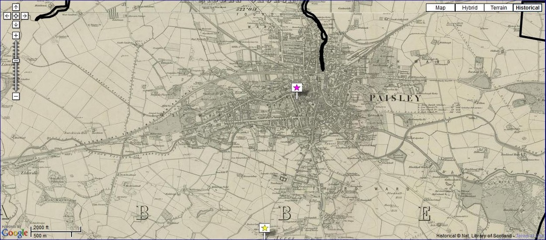
Clicking on this screenshot of historical Paisley will redirect to The Gazetteer for Scotland, which features an overlay of historical maps on the Google Maps interface. These maps are drawn from several different sources, mostly mid-19th century ordinance surveys; the closest layer is from maps produced starting in 1843.